Rail / environmental
Railroad Corridor Mapping
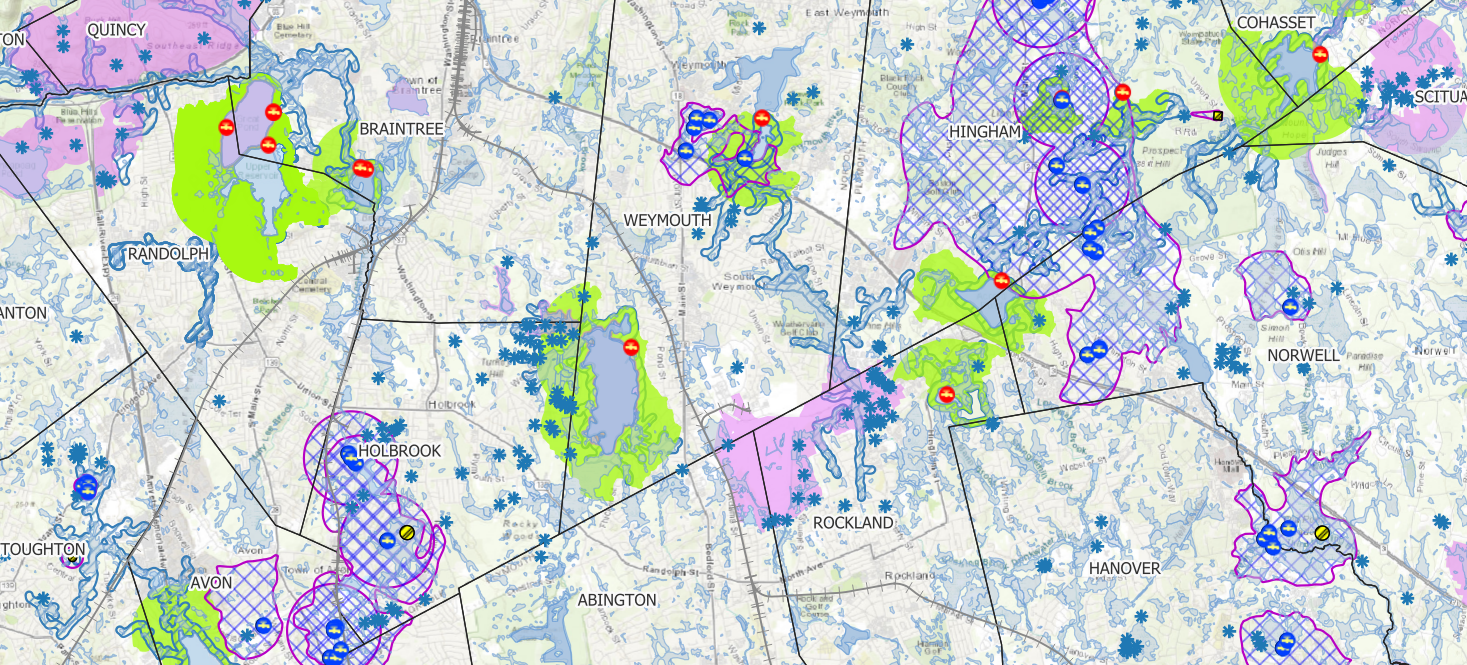
Right-of-way map sheets with environmental buffers, built as CAD underlays for field crews.
The problem
Rail engineering clients manage vegetation along their right-of-way, often with herbicide, and have to stay clear of protected areas like wetlands and their buffer zones. Crews needed corridor maps that show the right-of-way together with those protected zones, in a format they could actually use in the field and inside CAD.
What I built
I produced corridor map sheets as georeferenced GeoTIFFs and pulled in state environmental layers (wetlands and buffer zones), attributed and rendered for field use, then delivered them as AutoCAD underlays that drop straight into the client's existing drawings.
The deliverable
Map-sheet underlays that fit the client's CAD workflow, with environmental compliance zones clearly called out so crews know where they can and cannot work.
- QGIS
- MassGIS layers
- GeoTIFF / CAD
Outcome
Field-ready compliance overlays delivered across multiple regional and national rail corridors. The regulatory context, buffers plus vegetation management, adds value well beyond a basic basemap.