Legal / land use
Court-Ready Spatial Exhibits
Drone-based parking and shadow analysis prepared as exhibits that held up in Land Court.
The problem
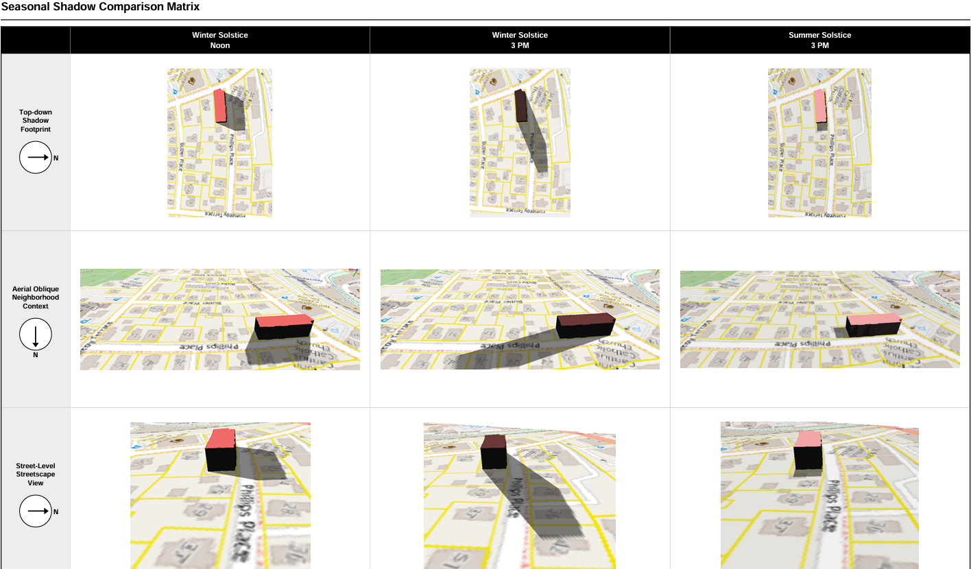
In a Massachusetts Land Court case over a proposed development, the parties needed defensible spatial evidence: how the existing parking was actually used across the day, and how the proposed building would cast shadow on the parcel.
What I built
A drone-based parking utilization survey with annotated imagery, and a parcel-level solar and shadow impact analysis driven by the developer's own certified engineering dimensions, so the inputs could not be disputed. Both were rendered as clean, labeled exhibits.
The deliverable
Two court-ready PDF exhibits: a parking utilization survey and a solar and shadow impact analysis, each built to be read and defended in a legal setting.
- Drone survey
- QGIS (EPSG:26986)
- ReportLab
Outcome
The exhibits held up under legal scrutiny. This is deposition-ready work product, not marketing imagery.